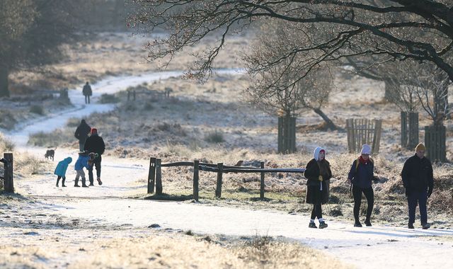
The warnings say icy patches may form on untreated surfaces, and cautions there may be some injuries from slips and falls on icy surfaces.
One Met Office warning covering almost the whole of Wales and the South West of England lasts from 10pm on Sunday to 9am on Monday, while another for Northern Ireland is in place from 7pm on Sunday until 9am on Monday.
Check the forecast for your area
The forecaster said there will probably be some icy patches on untreated roads, pavements and cycle paths.
It comes after the Met Office issued a yellow weather warning for rain covering the South West from midday on Monday to 9am on Tuesday, following weeks of heavy rain and stormy conditions.
A major incident was declared in Somerset earlier this week when around 50 properties were hit by flooding caused by Storm Chandra, according to the county council.
As of 12pm on Sunday, there were 58 flood warnings, saying flooding is expected, and 116 alerts – meaning flooding is possible – across England.
The Met Office said Sunday would see outbreaks of rain for most of the UK, which will move eastwards throughout the day.
It said there would be outbreaks of light rain and showers on Monday, with more persistent rain moving in later.
Read more from Sky News:
Iran warns of regional war risk if US attacks
UK’s top 100 taxpayers revealed
The rest of the week remains unsettled, with showers or longer spells of heavy rain affecting most areas, coupled with brisk winds at times.
The forecaster said there will be below-average temperatures in the north and snow on northern hills.
It said on Monday, accumulations of 10-20mm of rainfall will be “possible fairly widely” in the South West, the Met Office said, “with perhaps as much as 30-50mm over Dartmoor”, in Devon.
The weather warning said there was a small chance of homes and businesses flooding, and fast-flowing or deep floodwater could cause danger to life.
“Outbreaks of rain may become persistent on Monday, especially later in the day and overnight, before gradually easing and clearing into Tuesday,” it added.
“Given saturated ground following recent rain, there is a chance this may lead to some flooding and disruption in places.”
Official statistics for rainfall in January are set to be released on Monday, but it has been a very wet month for large parts of the UK.